Our Watersheds
Saco Watershed
Pine River Pond
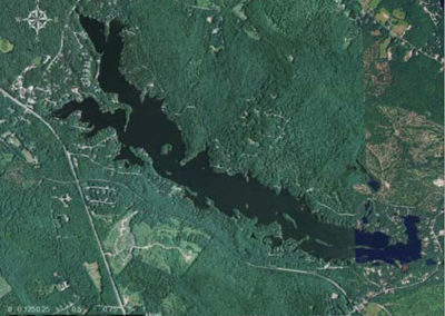
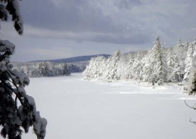
Pine River Pond sits at the headwaters of the Pine River, which flows northwest into Ossipee Lake. This 570 acre pond is situated in an 11 square mile watershed. The pond has 15 islands and a dam which maintains its water level. It has an average depth of 12 feet, yet it also has a relatively deep spot at 55 feet deep. It is classified as mesotrophic. For more information, check out the Pine River Pond Association’s website.
For more information related to water quality, download the most recent report below. For more reports, please check out the UNH Lakes Lay Monitoring Program’s website.
Lake Statistics
Towns: Wakefield, NH
Counties: Carroll
Latitude: 43°37’38″N
Longitude: 71°01’16″W
Watershed: Saco River
Elevation: 584 ft
Lake Area: 230.20 ha (568.83 acres)
Maximum Depth: 17.2 m (56.43 ft)
Volume: 8,547,500 m3 (2,258,010,618 gallons)
Average Depth: 3.7 m (12.14 ft)
Watershed Area: 3,367 ha (13 square miles)
Shoreline: 19,600 m (12.18 mi)
Flushing Rate: 2.2 flushes/year
Aquatic Invasive Plants: None known
Fishery Type: Warmwater
Fish Species: Largemouth bass, smallmouth bass, chain pickerel, brown bullhead & black crappie
Sources: NH Department of Environmental Services, NH Fish & Game

Watershed Resources
Sources: NH Department of Environmental Services & NH Fish & Game


