Our Watersheds
Saco Watershed, Salmon Falls Watershed, threats, planning
Description
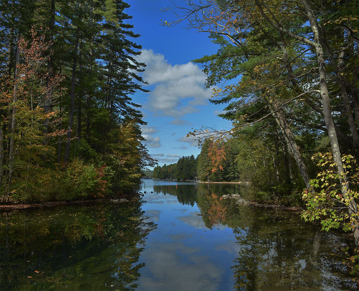
The AWWA watersheds cover approximately 55 square miles primarily within Acton and Wakefield but reaching into Parsonsfield and Newfield, ME and Effingham, Wolfeboro and Brookfield, NH.
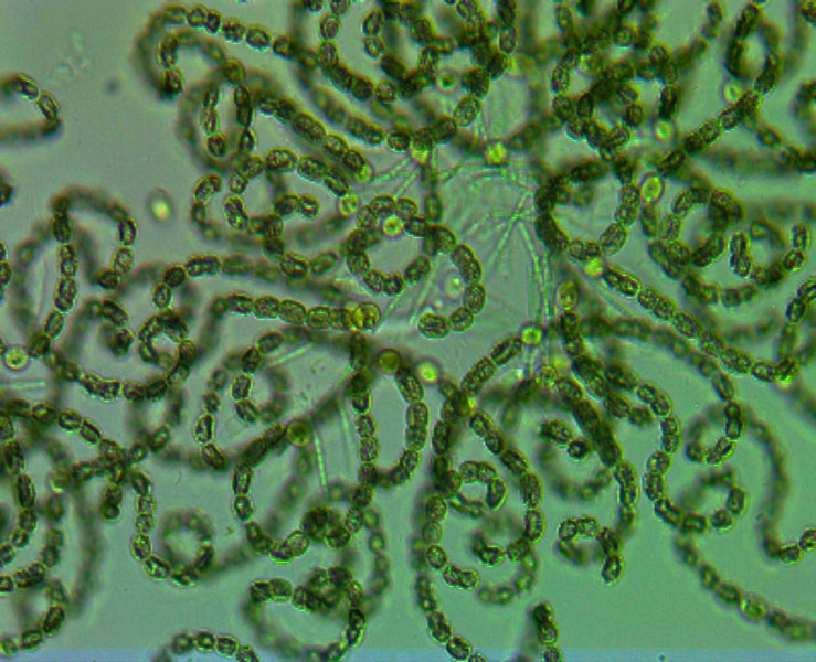
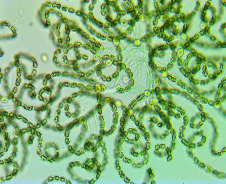
A watershed is the geographic region within which water drains into a particular river, stream, lake or ocean. A watershed includes hills, lowlands, and the body of water into which the land drains. As the rain falls or snow melts, water travels across the land and is affected by all that it contacts, picking up sediments and other pollutants. A watershed drainage area can be as small as your backyard or as large as thousands of square miles. Each small subwatershed contributes to a larger major watershed. For instance, the Lovell Lake watershed is part of the Salmon Falls watershed which is part of the the Coastal/Piscataqua watershed all leading to the Gulf of Maine and ultimately the Atlantic Ocean.
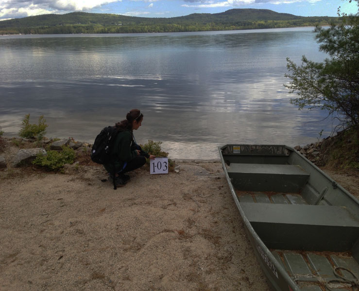
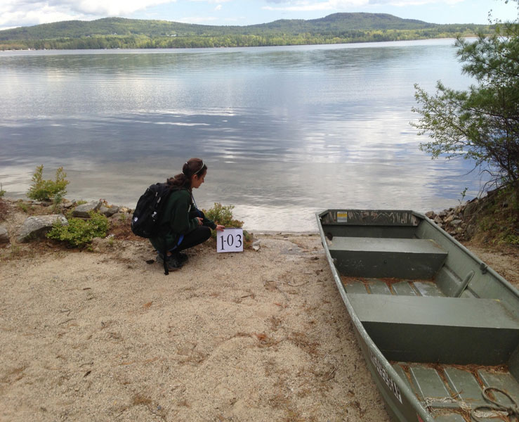
Tackling water quality issues is most effective and easiest to do within the small, local watersheds. Water quality problems almost always result from a number of small sources combining to have a measurable, negative impact on the receiving waters. This is why AWWA is working with the local landowners to address issues from the smallest to the most significant. AWWA recognizes that water quality depends on a holistic approach to the entire watershed and that water doesn’t follow political boundaries.
If you’re interested in learning more about lake science, check out “A Quick Lesson on Lakes” from our friends at Maine’s Lakes Environmental Association.
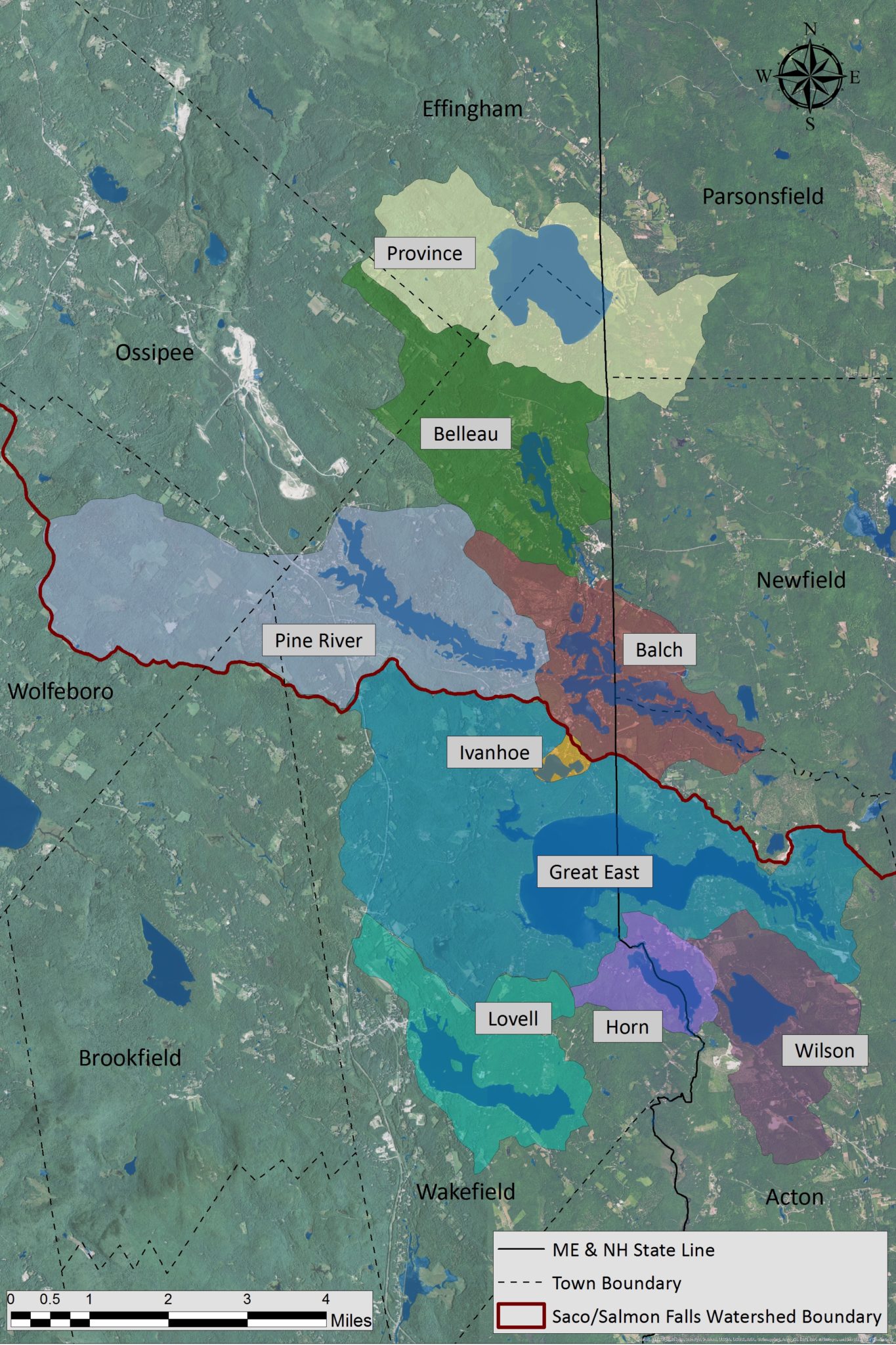
Salmon Falls Watershed