Our Watersheds
Salmon Falls Watershed
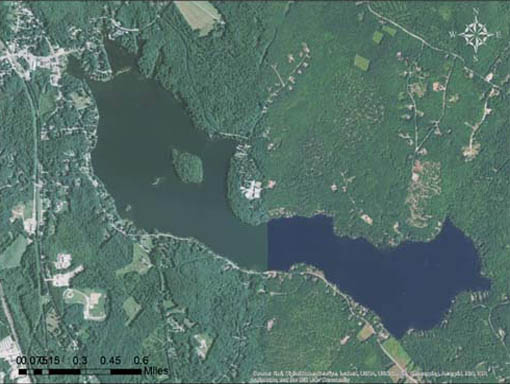
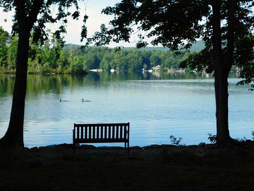
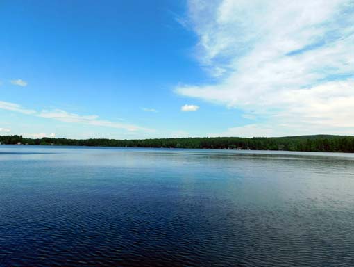
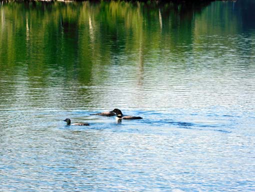
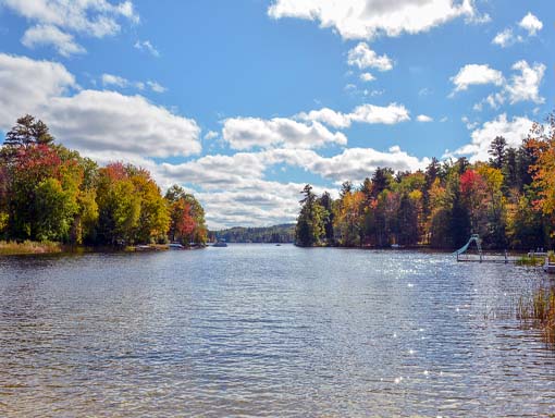
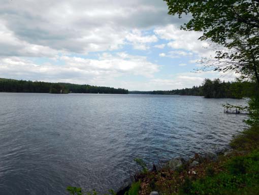
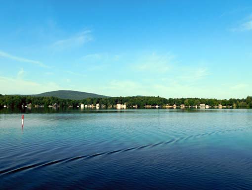
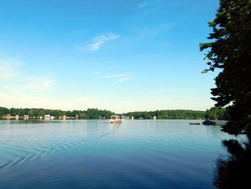
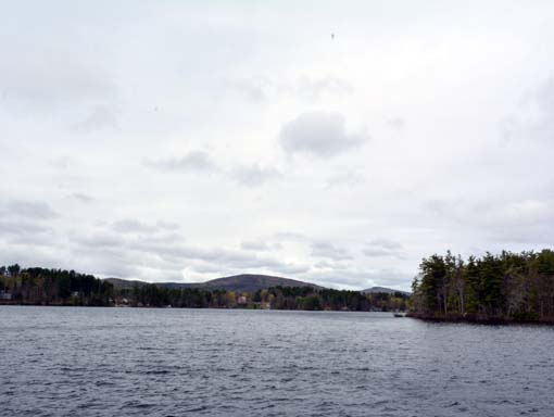
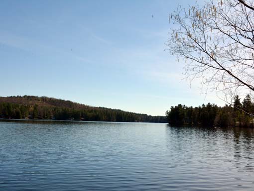
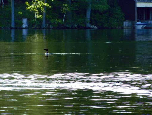
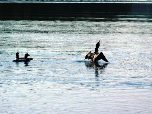
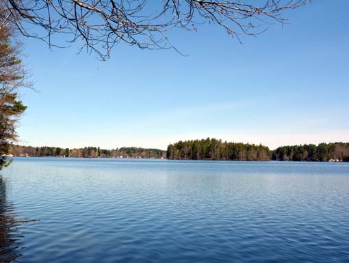
Lovell Lake
This 554 acre lake lies in the heart of Sanbornville, NH with a 4.8 square mile watershed. Lovell Lake is fed by both springs and a few small streams, such as Horse Brook. The lake drains into the Branch River which runs through downtown Sanbornville. Lovell Lake is an oligotrophic lake, meaning that it has high water quality and low levels of nutrients.
For water quality reports, please check out the UNH Lakes Lay Monitoring Program’s website.
WHATT’S AWWA UP TO ON LOVELL LAKE?
- Watershed survey to identify potential pollution sources
- Youth Conservation Corps erosion control projects
- Road management plan for Brackett and Pond roads and cost-share construction projects
- Water quality and cyanobacteria monitoring
- Hosting events and workshops of interest to lake associations and their members
- 7th grade field trip to Lovell Lake beach for place-based, hands-on learning project
- Coordination of Lake Host funding requests
- *NEW* Kozy Korner Culvert Redesign Project *NEW*
The Acton Wakefield Watersheds Alliance (AWWA) was awarded a Watershed Assistance Grant from the New Hampshire Department of Environmental Services during their FY2024 competition.
AWWA and its project partners including the Lovell Lake Association, and Kozy Korner, LLC are seeking to reduce total phosphorus (P) loading to decrease the frequency of cyanobacteria blooms and meet water quality standards as referenced in the Salmon Falls Watershed Management Plan (2010).
If you would like to be considered to work with AWWA on the Kozy Korner Culvert Redesign, please see the Request for Qualifications document below. It contains information on the submission process, selection criteria, scope of work, and deadlines for this opportunity.
AWWA is soliciting proposals from Qualified Environmental Professionals (QEPs) with proven expertise in the implementation of watershed management plans to provide technical services to complete the selected tasks detailed in the Request for Qualifications.
LAKE STATISTICS
Lake Area: 554 acres
Maximum Depth: 40 ft
Maximum Length: 1.9 miles
Maximum Width: 0.83 miles
Volume: 8,623,000 m3 (304,518,371.1 cubic feet)
Average Depth: 18 ft
Watershed Area: 4.8 sq mi
Shoreline: 6.6 mi
Average Transparency: 20.7ft (6.3 meters)
Watershed Resources
Lovell Lake